Explore Southern Arizona's National Parks and Monuments
Overview
Southern Arizona features some of the largest and most distinct cacti forests in North America, as well as preserved archeological and cultural remnants of cultures both ancient and modern, who thrived in the desert canyons. If not visiting between late November and mid-April, the heat can be prohibitive, and the hours of major sites might be variable. As with all of our tours, this one can be adapted, depending upon where you might opt to linger.
For both our northern and southern Arizona tours, pack plenty of water before setting off each day, and check your fuel level — at some points, the next gas station is 50-100 miles away.
Getting There
All airlines fly into Phoenix Sunport (PHX), though as it is a hub of American and a focus city for Southwest, you will likely find the best variety of options with those two carriers. Phoenix Mesa Gateway Airport (AZA), in Mesa, is 30 miles to the east of PHX, though this airport is only serviced by Allegiant. You can also fly into Tucson; American, Southwest, and United offer a variety of options, while Delta has limited service. Sites near Tucson are positioned on Day 3 of our tour, and you can also choose to begin from there.
In Phoenix, rent a car, and do consider an all terrain vehicle. On more than one occasion, roads are unpaved. In Phoenix, or nearby Tempe or Scottsdale, hotel options run the gamut from standard to luxury. We recommend continuing south after Day 2, relocating to Tucson, as you will see in the detailed tour below.
Some attractions will all but close in southern Arizona between Memorial Day and Labor Day due to the summer heat, whilst some attractions in northern Arizona won’t open until Memorial Day and will close by Labor Day due to snow and winter's chill.
Travel Note: When looking at National Parks maps and guides, you may see Hohokam Pima National Monument. This monument is on private land owned by the Gila River Indian Community, and is not accessible to the public.
Key Routes and Sites
If arriving in Phoenix before two in the afternoon, you can journey from the airport directly to the Casa Grande Ruins National Monument, fifty miles south; you can also stop at this site before your return flight.
The monument preserves the ruins of a Great House, constructed by the Sonoran Desert people in the 14th century; while the original purpose of the house remains a question, evidence of the Sonoran people, and the trade routes and irrigation systems they devised, spans more than one thousand years. In 1892, President Benjamin Harrison designated one square mile surrounding the ruins as the first prehistoric and cultural reserve in the U.S.. Today, you can take an excellent and free ranger led tour of the monument, or a short self-guided tour, using wayside signs.
Day 2 begins with a scenic drive northeast from Phoenix to Tonto National Monument, via the Apache Trail Scenic Byway, Arizona Highway 88. Check out of your hotel and continue southward at the end of your day or days here, to position for Day 3 (grounding in Phoenix is an option, and just means a bit more driving time). The Apache Trail is a nationally recognized scenic byway through the Superstition Mountains and Superstition Wilderness. En route to Tonto are the Canyon, Salt, and Saguaro Lakes along the Salt River, Tortilla Flat, and the Theodore Roosevelt Lake and Roosevelt Dam. Eighteen miles of the 41-mile road are unpaved, and some corridors are just wide enough for a single car. Tonto is two hours away without stops, so an early start is suggested.
At Tonto National Monument, a true hidden gem, you can tour two Salado-style cliff dwellings, the Lower Cliff Dwelling and Upper Cliff Dwelling. The Salado Phenomena was a mixture of Native American cultures and traditions that thrived within the Sonora Desert more than 700 years ago; traditions in weaving and pottery, and a bounty of artifacts, are other remnants. A visitor center and museum sheds more light on the Salado Phenomena, and offers artifacts and replicas. A half-mile uphill walk on a paved road, from the visitor center, accesses the Lower Cliff Dwelling. If you wish to view the Upper Cliff Dwelling, you must reserve a place on the park’s guided tour, ahead of time, offered between November and April. This tour typically departs at ten in the morning, and lasts three to four hours. You may enter the ruins (being respectful), unlike many other locations in the west.
At the end of your day, either drive the scenic byway back, or, if a paved road is preferred, take State Road 188 to U.S. 60 for a loop route along the southern edge of the Superstition Mountains. We suggest driving two hours south to Tucson, for an early start on Day 3 in Saguaro National Park.
Saguaro National Park exists in two districts, and is home to the largest cacti in America. The saguaro can grow to over 70-feet tall and live as long as 100 years. The western half is the Tucson Mountain District, and hosts a large forest of the titular cactus; the eastern half is the Rincon Mountain District, which has “a magnificent sky island, where you can find bears, cougars and the ever elusive coati (aka kudamundi),” as per the NPS website. Combined, the two districts offer more than 165 miles of hiking trails, as well as opportunities to camp in the Saguaro Wilderness Area. In the evening, consider exploring the Tucson historic district, or nightlife and shopping by the University of Arizona. Relish the city life for a bit, as the next phases of the tour are in rural and expansive parts of the state. The Arizona-Sonora Desert Museum is a comprehensive site dedicated to study of the desert, offering a zoo, art gallery, history museum, garden, and aquarium.
Saguaro National Park.
Whether touring Saguaro for one day or longer, plan on an early start as the next leg of the tour begins, with two sites that are two hours east of Tucson, Chiricahua National Monument and Fort Bowie National Historic Site. We would also recommend repositioning on your last day exploring Saguaro, to either Willcox or Benson, which will place you closer to these sites and make a fresher start to the day. There is a very nice Holiday Inn Express in Willcox, currently priced at only 10,000 IHG points per night. Camping is also available at Chiricahua National Monument, a 12,000-acre site with vast biodiversity. If you opt to stay in Tucson for the duration, be sure to get gas en route, in Willcox.
The NPS coins Chiracahua National Monument, the eroded remains of a massive volcanic explosion that occurred 25 million years ago, a “Wonderland of Rocks.” Hoodoos, balancing rocks and pinnacles that rise hundreds of feet into the air, are sculpted by wind and weather, and seemingly precariously perched. Biodiversity here is magnificent, including expansive grassland at the western point of entry to the site, prolific cacti and other succulents, and pointleaf manzanita. The woodlands contain seven species of oak, as well as madrone, juniper, Arizona cypress, and Arizona sycamore. Wildlife is similarly diverse, including white tailed deer, black bear, western box turtle, northern goshawk, banded rock rattlesnake, coatimundi, Chiricahua white fox squirrel, and many species of birds. An eight-mile drive takes visitors through most of the park, with stops along the way for hiking, and trails to fit all fitness levels and lengths of time. You can also book a guided tour of the Faraway House Ranch, the home of the Erickson family, who campaigned to designate the site a national monument.
Fort Bowie National Historic Site, trail.
A short 45-minute drive (the last 8 miles are unpaved) from Chiricahua National Monument is Fort Bowie National Historic Site, which affords the opportunity to learn more about the expansion of the United States into the region during the 19th century. You can start the next day at Fort Bowie. The abandoned fort is approximately a 1 or 1.5 hour hike from the parking lot to the Visitor’s Center; if stamp collecting, you are going to have to hike! You’ll likely want one or two hours to explore the ruins and the nearby trails. On the hike to the Visitor’s Center, you will pass by a portion of the Pony Express.
Upon departing Fort Bowie, you might return to lodgings in either Willcox or Tucson, or drive two hours south to Sierra Vista, where Hampton Inn, Candlewood Suites and Holiday Inn Express are all at very competitive points levels. You could also consider an overnight stop in Tombstone for a more touristy view of the Old West, or Bisbee to get a feel for an old mining town that’s got a modern flair and relaxed vibe. Regardless of where you land, the next stop is the Coronado National Memorial, a 30-minute drive from Sierra Vista or Bisbee, and a 50-minute drive from Tombstone. This site examines Coronado’s exploration to the Americas, offering viewpoints from all sides. The trails are moderate, though you will again want to bring plenty of water. You typically won’t find crowds here; consider it another hidden gem. There are two intriguing possibilities, a visit the Coronado cave (bring flashlights — no really, do bring a flashlight or hiking headlamp!) and a two-mile round trip trail that leads to the international border between Mexico and the US. The road to the top of the mountain is worth the drive, though is unpaved. Without the hike, two hours is a reasonable time to allot for this stop.
From here, it would be best to overnight in Tucson or Phoenix, in preparation for the final leg of our tour, Organ Pipe Cactus National Monument, to the west. Alternatively, you might journey two hours to Nogales, which would offer a scenic drive through the desert and mountains, and lodge there. A third option is to bypass Coronado and head for Nogales after touring Chiracahua.

Ajo Mountains Organ Pipe Cactus National Monument, photo by Derek Wright.
Organ Pipe Cactus National Monument, an International Biosphere Reserve, is approximately 2.5 hours west of Tucson. Arrive with a full gas tank, and you can fuel up again on the way out, in Ajo. Scenic drives along the 21-mile Ajo Mountain Drive and the more difficult 37-mile Puerto Blanco Drive are great starting points for your visit. As these are gravel roads; visitors may opt for a van tour, scheduled at the Kris Eggle Visitor Center. These and other roads call for caution, as they can be rough in places and do check in advance for road closures on Puerto Blanco; if you are uncomfortable driving, or did not rent a 4 wheel drive, consider the guided tour, just check the schedule, as they do tend to leave in the AM. Hiking and bicycling are popular here, and there are a variety of trails that venture into the desert to explore the namesake cacti and plenty of wildlife. The moderate to challanging Bull Pasture trail into the Ajo mountains is easily one of our top 10 parks hikes. If you have the inclination, this a great place to wait for the sun to go down and experience true dark sky night viewing. Camping is available. The nearest local accommodation is in Gila Bend. For our purposes, we’re going to suggest heading out shortly after sunset. If you are heading back to the east coast, you might be on a redeye flight; or, you might want another evening in the Phoenix area before heading home; if you missed Casa Grande Ruins at the start of this trip, a trip there in the AM before a mid-day flight is certainly possible.
Stamp Collecting
After touring Coronado National Monument, head to Tumacácori National Historical Park for a 30-60 minute visit. It’s a bit out of the way on our itinerary and nothing atypical of the Mission style.
Suggested Itinerary
Site 1 Arrive Phoenix, tour Casa Grande Ruins National Monument
Site 2 Tonto National Monument and Apache Trail Scenic Byway. Return to Phoenix or continue to Tucson
Site 3 Saguaro National Park, consider positioning for next day in Willcox, or return to Tucson
Sites 4 and 5 Chiricahua National Monument and Fort Bowie National Historic Site. Stay around Bisbee, or Tombstone, or Sierra Vista to angle closer to Coronado
Site 6 Coronado National Memorial, return to Tucson OR take a scenic drive 2.5 hours south to Nogales and visit Tumacácori, before returning to Tucson
Site 7 Early start to get to Organ Pipe Cactus NM, back to Phoenix [red eye home or fight next day]
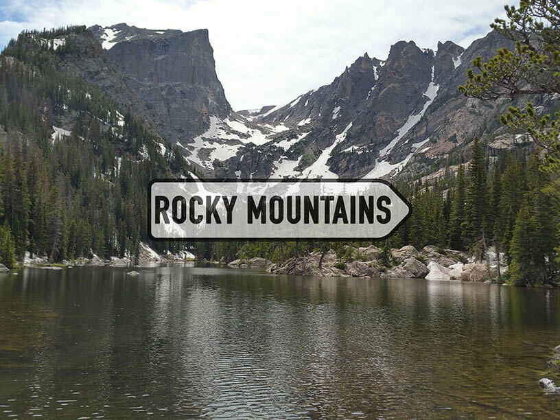
Consult our Northern Arizona tour page if time permits a longer visit. Good overlap months to do both tours are April, May, September, and October.